Warning due to flooding and heavy thaw
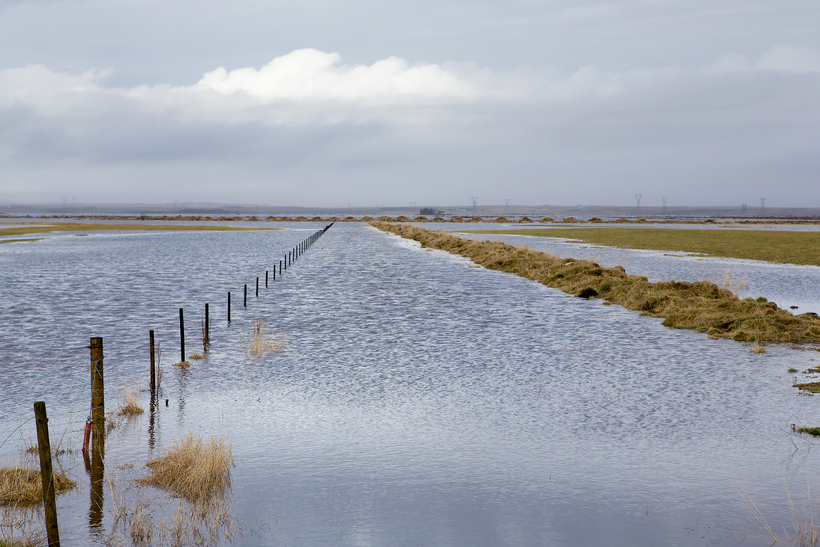
Morgunblaðið/Helgi Bjarnason
Heavy rainfall and warm weather is forecast for west and south and south Iceland on Monday (29 December), lasting until the early hours of Tuesday.
In these regions, the heaviest rainfall is expected around mountains and ice caps, where cumulative rainfall and snow melt amounts could exceed 100 mm over 24 hours.
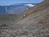
Rising stream and river levels are expected on the Snæfellsnes peninsula, around the Eyjafjallajökull and Mýrdalsjökull ice caps, and south of the Vatnajökull ice cap. Travellers are cautioned against fording rivers in these regions.
Due to the heavy thawing, people are advised to tend to and clean ice from drains and drainpipes to avoid water damages.
The southerly winds causing the thaw are strong and can be expected to reach strong gale (more than 20 m/s) where it cascades down from mountains in west, and north Iceland. Decreasing winds tomorrow afternoon.