350 million cubic meters of magma in the dyke

The National Commissioner of the Icelandic Police, together with the District Commissioners in Húsavík and Seyðisfjörður, decided to continue the Civil Protection phase on alert phase, based on the most recent scientific advice. The Advisory Board of scientists from the Icelandic Met Office and the Institute of Earth Sciences and representatives of the Civil Protection in Iceland met this morning.
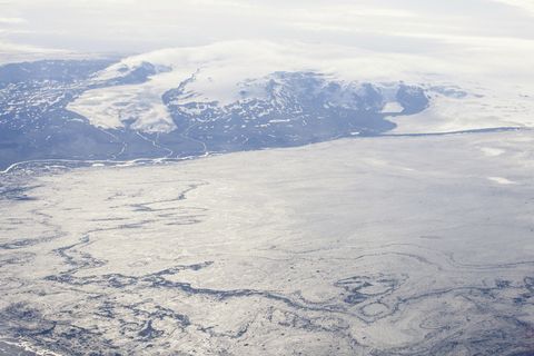
The National Crisis Coordination Centre in Skógarhlíð has been in operation since it was decided to close the highland area due to seismic activity in Bárðarbunga on 19 August 2014. The centre coordinates operations and information due to the seismic unrest in the Bárðarbunga area, in northern Vatnajökull glacier.
Seismic activity still intense
The biggest earthquake in the current swarm was measured M 5.7 at 01:26, August 26th. The event was localized in the northern/northwestern part of Bárðarbunga caldera at 6 km depth. At 11:56 UTC an earthquake of M4.6 (EMSC M4,4) occurred at 8 km depth in the dyke under the Dyngjujökull glacier margin.
It was felt in the town of Akureyri in Northern Iceland. Most of the seismic activity is close to the rim of Dyngjujokull. The dyke is still migrating to the north and the tip of it is already around 10 km outside of the glacier. Most of the events are at a depth of 8-12 km.
There have been no signs of harmonic tremor.
The dyke beneath Dyngjujökull is now thought to be close to 40 km long. Model calculations, based on GPS data, suggest that a total volume of up to 350 million cubic meters have intruded into the crust since the activity started or about 50 million cubic meters of magma have added to the volume in the last 24 hours.
Restrictions on roads and areas in Jökulsárgljúfur Canyon up to Dettifoss waterfall have been lifted on the east side but the closure on the west side is still in effect, as well as closures in the highlands north of Vatnajökull glacier. A map of the closed roads can be found on the website of the Icelandic Road and Coastal Administration.
The Icelandic Met Office has changed the aviation color-code to orange. All restrictions on aviation have been cancelled. All scheduled services airports in Iceland are open.
