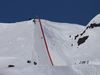
Big earthquake in Þrengslin in the South
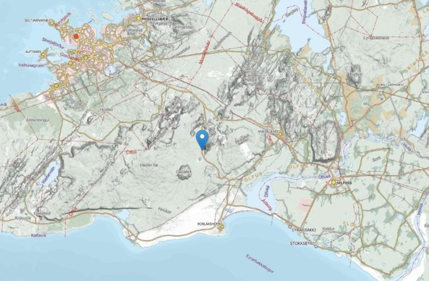
Map from the Icelandic Met Office that shows the source of the earthquake. Map from the Icelandic Met Office
A big earthquake was felt today just before 17:00 o'clock in the Southwest of Iceland, in an area called Þrengslin, a road that leads to Þorlákshöfn , Eyrarbakki , Stokkseyri and eventually Selfoss . The earthquake could be clearly felt in Reykjavik, but it was 4.7 on the Richter magnitude scale, and it is the biggest earthquake to be recorded in this area since 1991 according to the Iceland Met Office, but their data does not go further back than that year. The source of the earthquake was just east of Lambafell .
It doesn‘t look like the earthquake caused any damages, but it was felt all the way from Fljótshlíð to Borgarnes .
Little earthquakes are expected to follow tonight and even for the few next days.
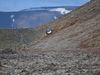
In a cave when the earthquake shook the earth
Sixteen people were in and around Raufarhólshellir Lave Tunnel today when the earthquake shook the earth, but the source of the earthquake is not far from the cave,around 8 km in the ground. A guide who was still in the cave did not feel the earthquake but heard its sound.Those who were above ground and not in the cave, felt the earthquake quite strongly.
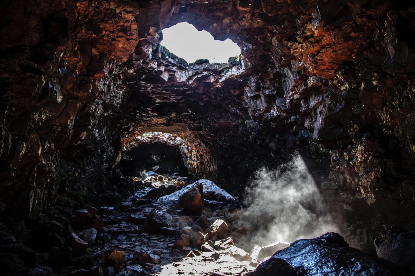
Raufarhólshellir Lava Tunnel. Lava Tunnel
Jóna Sigurlína Pálmadóttir is a guide with Lave Tunnel. She said that five guides were at the cave today and 11 guests, but mostly staff and only two tourists that were already at the carpark when the earthquake hit.
She said this earthquake felt stronger than the the series of earthquakes in Reykjanes last year, but at that time she was in Reykjavik which needed to be factured in.
The local police has closed the cave for now while they are gathering more information from the Icelandic Met Office to ensure it is safe to go into the cave.