Strongest Earthquake in 17 Years
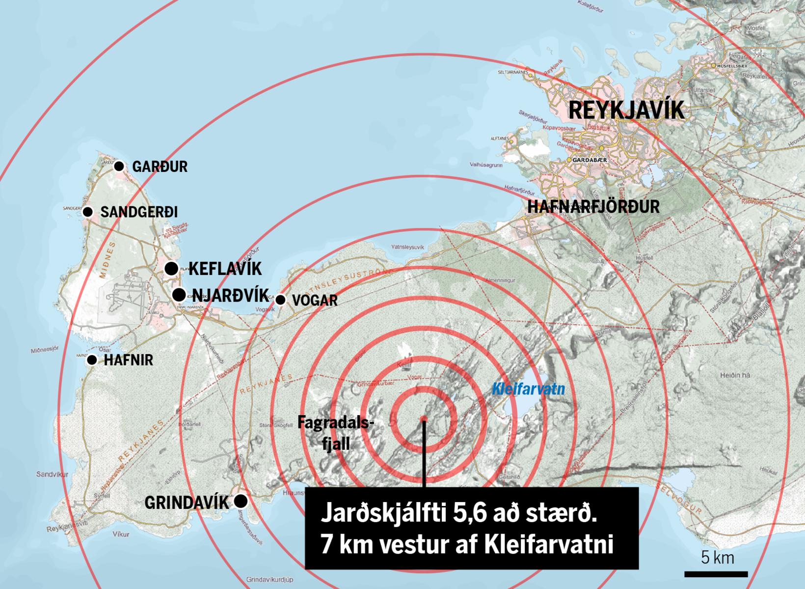
The map shows the source of the earthquake, 7 km west of Kleifarvatn lake. map/mbl.is
An earthquake of magnitude 5.6 hit the Reykjanes peninsula, Southwest Iceland, at 1:43 pm yesterday, Morgunblaðið reports. This is the largest earthquake to hit the area in 17 years. Its source was 5 km west of Seltún on the Reykjanes peninsula. Neither injuries nor any major property damage have been reported.
So strong was the earthquake that it was felt as far north as Ísafjörður, the West Fjords. Houses in the capital area trembled considerably, and in Grindavík , on the Reykjanes peninsula, MP Vilhjálmur Árnason stated he felt he was being swung back and forth.
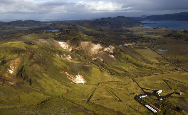
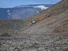
From the Reykjanes peninsula. mbl.is/RAX
Sigþór Sigurðsson, resident of Akranes, West Iceland, tells mbl.is he ran outside when the earthquake hit, thinking a truck had just hit his house. “Everything shook so violently that it felt like being in a boat,” he adds. Large rocks rolled down mountain slopes, putting hikers at risk.
Items tumbled down from shelves in grocery stores in Reykjavík, and there were reports of cracks opening in the floor of the buiding that houses the Reykjavík Flight Academy.
At least 1,700 aftershocks followed, more than 20 of them in excess of magnitude 3. Páll Einarsson, geophysicist, states that this seismic activity is far from over.
Scientists do not expect any volcanic activity to follow the earthquakes.
You can look up more data on vedur.is .
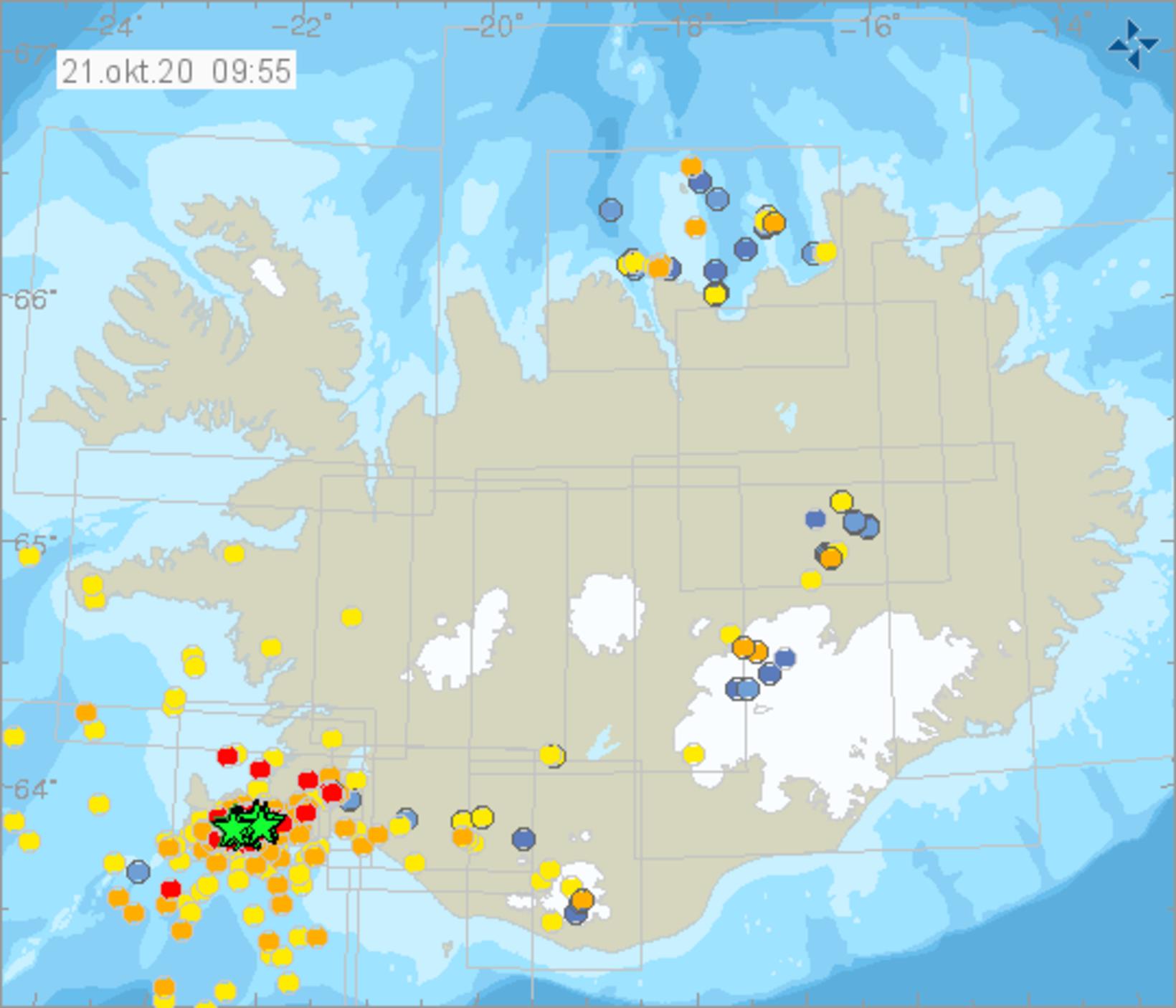
Map/The Icelandic Met Office