Cold spot close to Iceland is uniquely cold
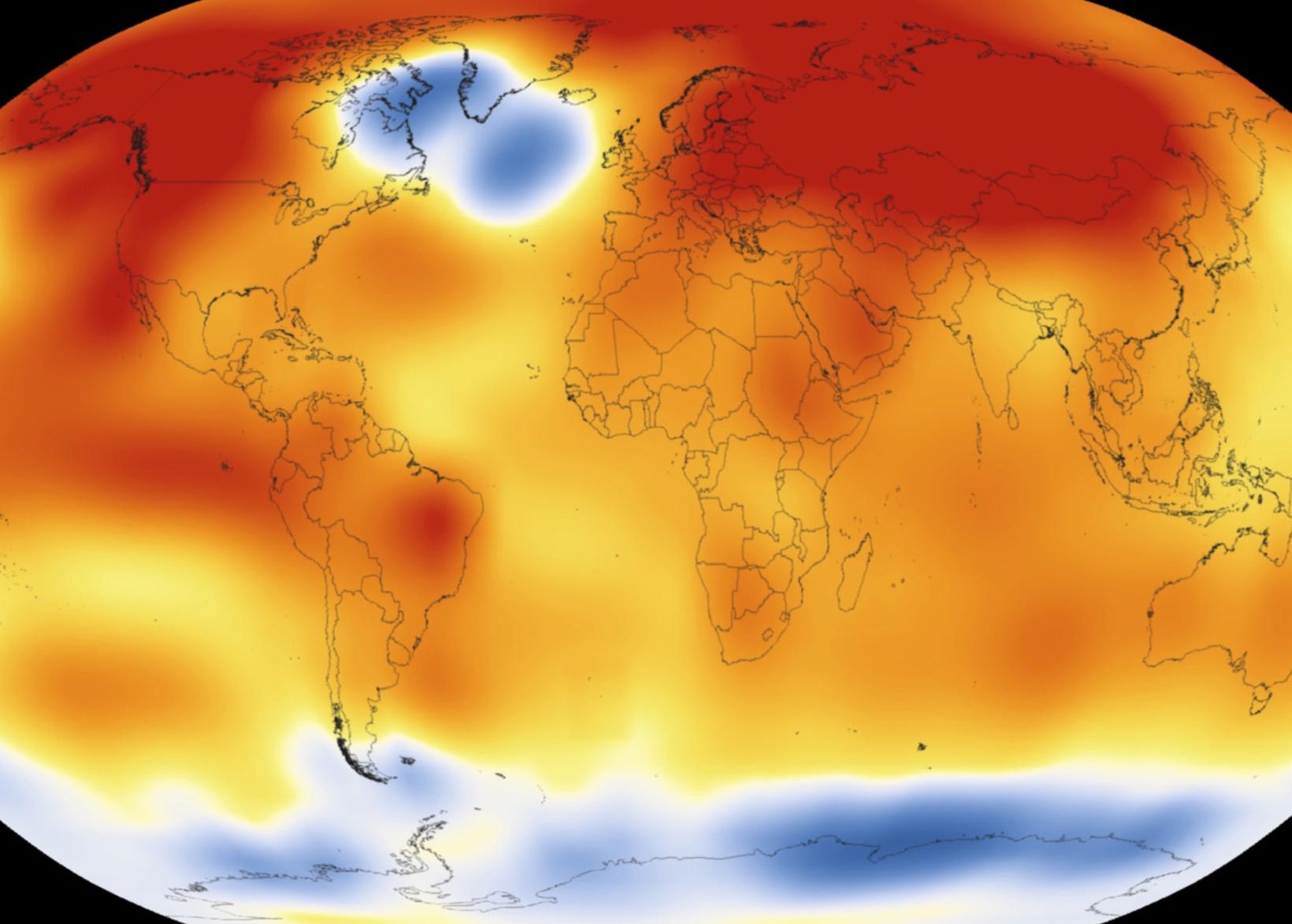
Here is the cold spot visible from the heat map from NASA. Photo/Wikipedia.org
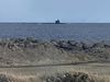
The coldest spot in the North Atlantic Ocean is the area called southwest of Iceland where the temperature has been relatively cold compared to previous lows, while warming is present in most parts of the world.
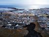
A map showing the spot has circulated on social media recently, in the context of the Reykjavik residents’ feeling that more heat was lacking in the southwest corner this spring and early summer. The reports of extreme warmth in the east of Iceland have not minished the theories.
The last few summers are also considered to have been disappointing in Reykjavík, at least in terms of air temperature.
Speaking to mbl.is, Haraldur Ólafsson, professor at the Faculty of Science at the University of Iceland, explains that the map shows temperature variations in 2015.
Melting of the Greenland ice sheet
The variation is thought to be due to the fact that the sea is colder, which is probably due to the slowing of deep sea water formation.
Ólafsson says that there is evidence that deep sea water formation has been slower for some time and is probably related to the increase in freshwater in the uppermost layers of the ocean.
Is it thought to be primarily due to the melting of the Greenland ice sheet.
Models predict the same
Ólafsson says it is interesting that the models predicting the future assume increased temperatures in all parts of the Earth, but the least in this spot, southwest Iceland.
Almost everywhere else on the planet, there will be more warming, except in this region of Iceland.
In the last years, Haraldur says that this area has been in colder shape. He says that the cold is most likely due to lower sea temperatures, and various studies indicate that this is the case.