A summary of the Bárðarbunga situation
The National Commissioner of the Icelandic Police has decided to move the emergency phase back to alert phase from danger phase. This decision is taken in collaboration with the District Commissioners in Húsavík and Seyðisfjörður.
The earthquakes that have occurred since midnight are the most powerful ones to hit the area since 1996, when a nearby volcano erupted.
The following are highlights from the daily status report from the National Crisis Coordination Centre:
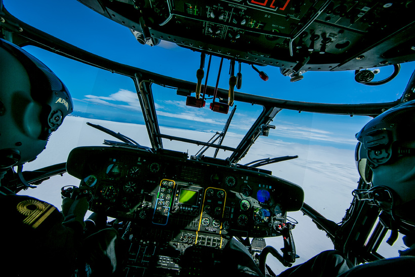
The National Crisis Coordination Centre in Skógarhlíð has been in operation since it was decided to close the highland area due to seismic activity in Bárðarbunga on 19 August, 2014. The centre coordinates operations and information due to the seismic unrest in the Bárðarbunga area, in Northern Vatnajökull glacier.
New to Icelandic? Here is how to pronounce Dyngjujökull and Bárðarbunga.
Seismic activity
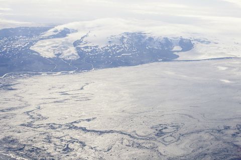
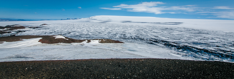
There has been highseismic activity in Dyngjujökull in Northern Vatnajökull glacier since midnight. Over 700 (Update 17:19, over 1.000) earthquakes were detected from midnight to noon. Two earthquakes around and over 5 were detected in Bárðarbunga caldera.
The first one, size 5,3 occurred at 00:09 HRS at the Northern edge of Bárðarbunga caldera. The latter occurred at 05:33 HRS, size ca. 5 at the Southern edge of the caldera.
Both earthquakes happened at around 5 km depth.Those are the largest events in the swarm that started over a week ago and also the largest earthquakes since before the eruption in Gjálp volcano in Vatnajökull glacier in 1996.
The activity under Dyngjujökull has propagated northwards and is now mostly under the edge of the glacier, where an earthquake of magnitude 4,2 was recorded this morning. The dyke under Dyngjujökull is now estimated to be approximately 30 km long.
Yesterday morning, it was 25 kilometers long (Icelandic)
There are no signs of an eruption. Observations show that a sub-glacial eruption did not occur yesterday. The intense low-frequency seismic signal observed yesterday has therefore other explanations.
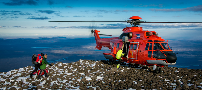
Closings in the area North of Bárðarbunga
Restrictions on roads and areas in Jökulsárgljúfur canyon up to Dettifoss waterfall is still in effect, as well as closures in the highlands North of Vatnajökull glacier.
A map of the closed roads can be found on the website of the Icelandic Road and Coastal Administration under this link.
The Icelandic Met Office has lowered the aviation color code to orange. All restrictions on aviation have been cancelled. All scheduled services airports in Iceland are open.

 Konur álitnar annars flokks borgarar
 „Staðan er grafalvarleg“
 „Hann skók húsið aðeins“
 Ræddu við skólasystkini stúlkunnar í dag
 Quang Le: „Ég gerði ekkert rangt“
 Hefði ekki lagst gegn samþykkt sáttmálans
/frimg/1/50/8/1500878.jpg) Yazan verður ekki fluttur úr landi
Yazan verður ekki fluttur úr landi
 Saka Ísraela um fjöldamorð